How fragmented roadwork data leads to avoidable conflicts
Feb 3, 2026 7:00:00 AM • Posted by: George Wills
Most roading authorities have good people and reasonable processes. What they don't have is a single view of everything happening on their network. That gap is where conflicts, delays and public frustration take hold.
A Monday morning nobody planned for
We’ve heard this one before. A fibre contractor has a crew on site at 7am, ready to trench a 200-metre stretch of suburban road. They've got their corridor access request approved, their traffic management plan signed off, and a stop/go crew managing the single lane. Everything is in order.
Except that a water main renewal is starting on the same block, on the same morning. Different utility company, different contractor, separate approval from a neighbouring authority. Neither crew knew the other was coming. By 8:30am you've got two sets of traffic management competing for road space, confused motorists banking up past the nearest intersection, and a school principal on the phone to the council.
This isn't a freak event. Anyone who has worked in road corridor management for more than a few years will have seen some version of it. The details change but the root cause is almost always the same: nobody had the full picture.
How roadwork data ends up scattered
Most authorities don't set out to create information silos. They build up over time, usually for perfectly understandable reasons.
Your corridor access team might run permit applications through one system. Your maintenance crews log their planned work in a spreadsheet or a separate asset management tool. Utility companies submit their applications through whatever channel the authority requires, which might be email, a PDF form, or an online portal that doesn't talk to anything else. Events teams have their own calendar. Emergency works get phoned through and noted on a whiteboard.
Each of these channels works well enough on its own. The maintenance scheduler knows what the maintenance team is doing. The permits officer knows what's been approved. The problem is that nobody has an easy way to see all of it at once, on a map, with timeframes.
Now multiply that across jurisdictions. In many parts of New Zealand, a single corridor might involve NZTA as the state highway authority, the local council as the road controlling authority for adjacent streets, and one or more utility operators with their own planned programmes. The National Code of Practice for Utility Operators' Access to Transport Corridors specifically calls for coordination and information sharing between parties, but when each party is working from a different dataset, coordination depends on someone picking up the phone at the right time.
Academic research backs this up. A study published in the International Journal of Construction Management found that road works management processes are commonly built around fragmented IT systems, with inherent silo working creating process inefficiency. That finding won't surprise anyone who has tried to cross-reference a spreadsheet of planned works against a separate list of approved permits and a third-party utility programme.
What this actually costs
The costs of poor visibility are real, even if they rarely show up as a single line item in anyone's budget.
Wasted crew time and duplicated traffic management
When two work crews turn up to the same location without prior coordination, at least one of them is going home or standing around waiting. That's a day's wages for a crew, plus the traffic management setup that's either redundant or needs to be reconfigured on the spot. For context, Auckland Council Group was estimated to spend at least $145 million per year on temporary traffic management alone. Even small efficiency gains in how that work is coordinated add up quickly.
Missed opportunities to combine work
The flip side of conflict is missed collaboration. If a water main renewal and a fibre installation are both planned for the same corridor within a few months of each other, there's an obvious opportunity to coordinate the work, share traffic management costs, and dig the road up once instead of twice. But you can only spot that opportunity if you can see both programmes in the same view. Auckland Transport's TTM Transformation Programme has specifically called for better forward works coordination to reduce repeat disruption, and they've invested in upgrading their planning tools to support this. That's a clear signal that the sector recognises the gap.
Delays that cascade through the programme
A conflict that delays one project often has knock-on effects. The crew that was supposed to start a trench on Monday now can't get on site until Wednesday. Their next job gets pushed back. The traffic management company has to reschedule. The road that was supposed to reopen by Friday stays restricted into the following week. For smaller authorities managing a limited number of corridor access requests, this might be a minor inconvenience. For larger networks processing thousands of permits a year, a handful of conflicts each week compounds into a significant drag on programme delivery.
Public frustration and loss of trust
Residents and businesses are remarkably tolerant of roadworks when they understand why the work is happening and when it will be done. What erodes trust is seeing the same stretch of road dug up repeatedly, or dealing with unexpected closures that nobody warned them about. Fragmented data makes it harder for authorities to give the public accurate, timely information. It also makes it harder to hold contractors accountable when work overruns or when traffic management isn't removed promptly. The public complaint isn't really about roadworks. It's about the sense that nobody is in charge.
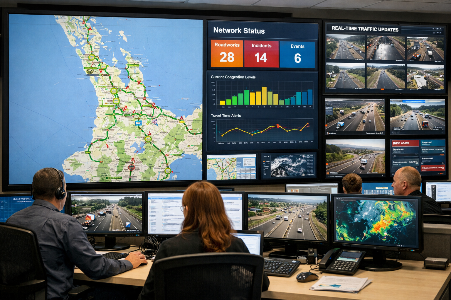
What complete visibility actually looks like
The alternative to fragmented data isn't some futuristic command centre. It's simpler than that: a single planning view where all current and upcoming work on the network is visible, regardless of who submitted it or which authority approved it.
In practical terms, that means a coordination team can open a map and see every active worksite, every approved permit that hasn't started yet, and every application still being processed. They can filter by date range, by location, by type of work. They can see where utility programmes overlap with council maintenance. They can see what's happening on an adjacent authority's network that might affect traffic flows on their own roads.
Crucially, potential conflicts should be flagged before a permit is approved, not after a crew is already on site. If a fibre contractor submits an application for a stretch of road where a water main renewal is already scheduled, the system should surface that conflict during the application process so that coordination can happen upfront, when there's still time to adjust dates, share traffic management, or sequence the work sensibly.
This isn't a theoretical model. It's how platforms like myWorksites work today. The planning map shows work across multiple authorities from a single view, and automatic conflict detection alerts both applicants and authorities to scheduling clashes before they become on-site problems. Over 15,000 registered users across New Zealand already rely on this approach to manage approximately 80,000 permits annually.
Practical steps for your authority
If you're reading this and thinking your team might have some visibility gaps, here are a few practical starting points.
Audit where your roadwork data lives
Map out every system, spreadsheet, email inbox and shared drive where information about planned or active work currently sits. Include contractor submissions, internal maintenance schedules, events calendars, and any utility coordination that happens by email or phone. The goal isn't to criticise what exists. It's to understand how many places a coordination officer would need to check to get a complete picture of what's happening on the network tomorrow.
Identify your biggest blind spots
For most authorities, the gaps tend to cluster in a few areas. Cross-jurisdiction work is a common one: you can see what's approved on your network, but not what NZTA or a neighbouring council has approved on roads that feed into yours. Contractor-submitted work is another: applications might be tracked individually but not plotted against each other spatially and temporally. Internal maintenance is a third: the team that manages potholes or resealing might schedule their work independently from the team that processes corridor access requests.
Consider what changes with a single source of truth
Ask your team a simple question: if every piece of planned and approved work was visible in one place on a map, what would we do differently? The answers usually come quickly. We'd catch conflicts earlier. We'd coordinate with utilities before approving permits. We'd give the public better information. We'd stop duplicating traffic management on the same corridor. Those answers tell you what the fragmentation is currently costing your team and your community.
The cost of not seeing the full picture
Fragmented roadwork data isn't usually the result of poor decisions. It's the natural accumulation of systems and processes that were never designed to talk to each other. But the costs are real: wasted crew time, duplicated traffic management, repeated disruption to residents and businesses, and missed opportunities to coordinate work that would benefit everyone.
The good news is that the fix doesn't require replacing everything you've already built. It requires bringing the data together into a view that everyone can see, with conflict detection that works proactively rather than reactively.
myWorksites was purpose-built for exactly this problem. It gives roading authorities, contractors and utility operators a shared view of what's happening across the network, with tools to coordinate work, manage permits, and prevent the kind of conflicts that make everyone's job harder than it needs to be.